Taylor River Trail
Burleigh Bridge to Taylor Dam
| Location | Upstream of Burleigh Bridge (New Renwick Road - Taylor Dam). |
|---|---|
| Length | The full length between Burleigh Bridge and the Taylor Dam is approximately 5 km, however, there are various points to enter and exit between these two points. |
| Grade | The trail is of an off-road nature for the entire length but the terrain is generally flat and considered easy going for most. Fat-tyred mountain bikes or similar are recommended. |

Access points
- Burleigh Bridge
- Taylor Dam
- Wither Road Extension
- Maxwell Road - Churchward Park
- Taylor Pass Road - opposite Mountain Bike Park carpark
- Ben Morven Track from Ben Morven Road
Points of interest
As the Taylor River Trail winds its way up the riverbed and then along the riverbank, it passes a few notable access points, in particular the exit to the Wither Hills Farm Park and Mountain Bike Park, as well as the access track to Ben Morven Road.
The trail also passes the RSA Memorial Olive Grove near the Burleigh bridge and the junior motorcycle area near Wither Road Extension.
The track ends at the entrance to the Taylor Dam Recreation Reserve, a reserve created as a result of the building of the Taylor Flood Retention Dam in the mid 1960s to prevent flooding occurring downstream in Blenheim.
Facilities
There are toilets at A and P Park close to the Burleigh bridge, at the farm park's main carpark at Rifle Range Place and also at the Taylor Dam.
Use
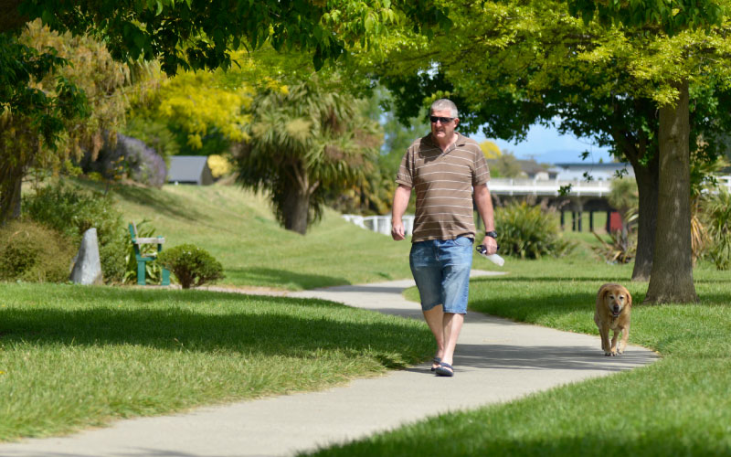
The trail is a shared use facility that is used by walkers, runners, cyclists and for dog exercising. There is plenty of room for everyone, but remember to keep left and be courteous to other users.
Safety
At times of heavy rainfall the river does flood which can hinder or prevent access. Do not attempt to cross the river after heavy rain.

